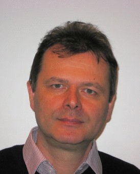
| Steffen Fritz Steffen Fritz, PhD has been appointed as Acting Program Director of ESM for the period of July 2019 until March 2020. Before and after this period Dr. Steffen Fritz is Deputy Program Director of the Ecosystem Services and Management (ESM) Program, and Leader of the Earth Observation Systems (EOCS) Research Group. He joined IIASA in 2007, and since then has become the initiator and driving force behind the Geo-Wiki.org, a global land cover and land use validation tool that aims to investigate and reduce the uncertainties in global land cover data via citizen science.
Dr. Fritz is the Principal Investigator of the ERC funded ''CrowdLand'' and H2020 funded ''LandSense'' and ''WeObserve'' projects, as well as many others.
Dr. Fritz studied physics and geography at the University of Tubingen, Germany, and in 1996, he received a Master of Science degree in Geographical Information for Development from the University of Durham, UK. Thereafter, he was awarded a scholarship by the School of Geography at the University of Leeds, UK, where he completed his PhD on how to map perceptions of wild land. He then undertook a Postdoctoral Fellowship at the Joint Research Centre (JRC) in Italy in 2002. During this time, he worked on land cover with a primary task to mosaic, harmonize and produce the Global Land Cover 2000 database. His second post at the JRC was on the development of new methods for crop area estimations.
The research interests of Dr. Fritz include earth observation, citizen science, crowdsourcing, volunteered geographical information, food security, land-use science, global and regional vegetation monitoring, crop yield and crop acreage estimations of agricultural crops, serious gaming, gamification, and in-situ data collection of land-use and land cover via mobile technologies, as well as citizen science for SDG achievement.
|  |


